TECHNOLOGY REVIEW
Technology Review
Geophysical techniques are capable of locating and determining the depth of services that may not be traced by traditional electromagnetic location or surveying approaches. Accurate location and depth information can be acquired for non-metallic services, such as cable ducts or plastic and clay pipes. These techniques are also capable of looking far deeper than a traditional survey and can provides a systematic methodology to locate deeper structures such as sewers, culverts and adits.
Ground Penetrating Radar
In Ground Penetrating Radar (GPR) surveys, electromagnetic waves of frequencies between 50MHz and 2.6GHz are transmitted into the ground or structure. The transmitted energy is reflected back to the surface when it encounters significant contrasts in dielectric properties (e.g. changes in ground conditions).
With the wide range of antennas available, GPR can be applied to numerous geological, environmental and engineering applications with investigation depths from a couple of centimetres to up to ~10m bgl. The data can be collected as a series of 1D soundings, 2D traverses, or in more complex situations as a 3D volume. With this dynamic versatility, the GPR technique can be applied in a wide variety of circumstances.
For utility detection, GPR offers a reliable way to locate services that cannot be located by traditional methods (e.g. non-metallic pipes). The data acquired from GPR can be observed in real-time, displaying a 2D profile of the near-surface, which can help us understand features in the near-surface and can aid in making an engineering judgement based on the experience of the user.

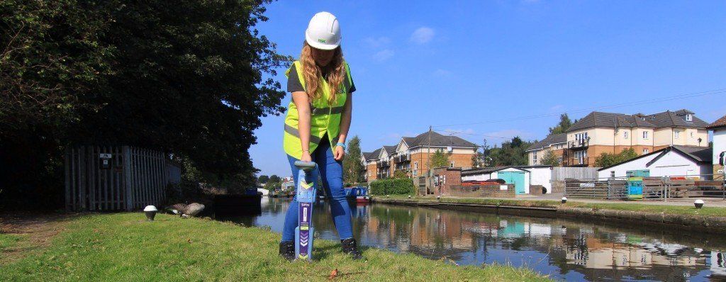
Electromagnetic Location
An Electromagnetic Location (EML) multi-frequency locator with a signal generator can non-intrusively locate a wide variety of metallic and non-metallic cables and pipes. There are two modes in which this equipment can be used: active
and passive.
Active
location is where there is direct contact with the utility, whether that is inducing a signal onto a metal pipe from the surface (generator is placed on a point of a known utility), inserting a sonde or tracer cable into a culvert, or connecting (clamping) the generator directly onto a valve. This is done to obtain accurate depth information for both metallic and non-metallic object (e.g. clay, concrete, plastic) objects.
Passive
location uses signals that are found on conductive buried utilities. The two passive modes are known as power
and radio.
- Power is generated by a conductor (a utility) carrying an electrical load which then generates an electromagnetic field that can be detected on the surface.
- Radio detection is when metal pipes and conductors reflect low frequency radio waves, creating eddy currents, from submarine communications.
Electromagnetic Methods
In electromagnetic (EM) surveying, the electrical conductivity of the ground is measured as a function of depth and/or horizontal distance. Different rocks, buried structures and objects exhibit different values of electrical conductivity. Mapping variations in electrical conductivity can identify anomalous areas worthy of further geophysical or intrusive investigation.
Due to the rapid data collection methodologies utilising GPS positioning systems, the Electromagnetic Mapping method is often used as a reconnaissance style survey to rapidly characterise sites prior to intrusive investigations. With most site investigations, EM mapping can provide an overview of contamination concentrations, thickness of overburden across a site etc, and hence can be used to target any future sampling and testing strategies.